INTERACTIVE MAPS
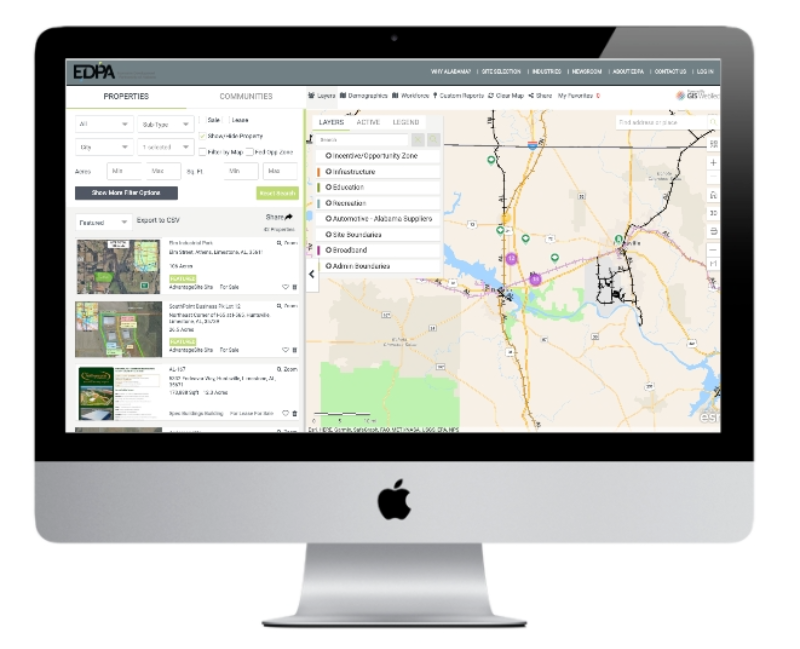
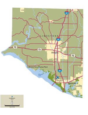
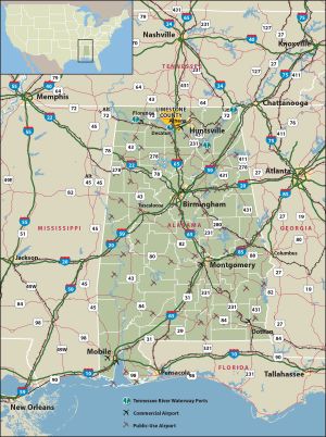
Explore Limestone County using EDPA’s interactive map.
Click the link below to use a multi-layered interactive map and explore demographics, available sites and buildings, incentive zones, transportation, recreation, broadband infrastructure and more in Limestone County.
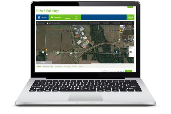
Explore Limestone County using TVA’s interactive map.
The Tennessee Valley Authority (TVA) maintains a GIS powered sites and buildings database that is updated by the North Alabama Industrial Development Association and the local economic development agencies. This database is easy to use and features a wide range of demographic and community information.
